
Oregon Department of Forestry (ODF)

Current Conditions

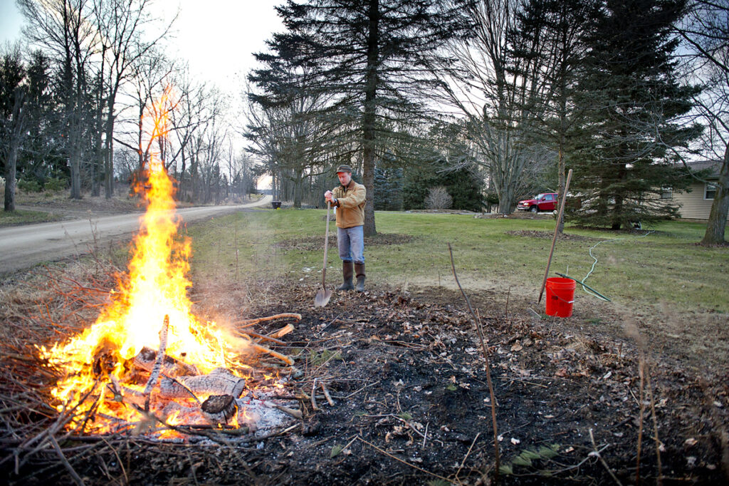
Outdoor Debris Burning
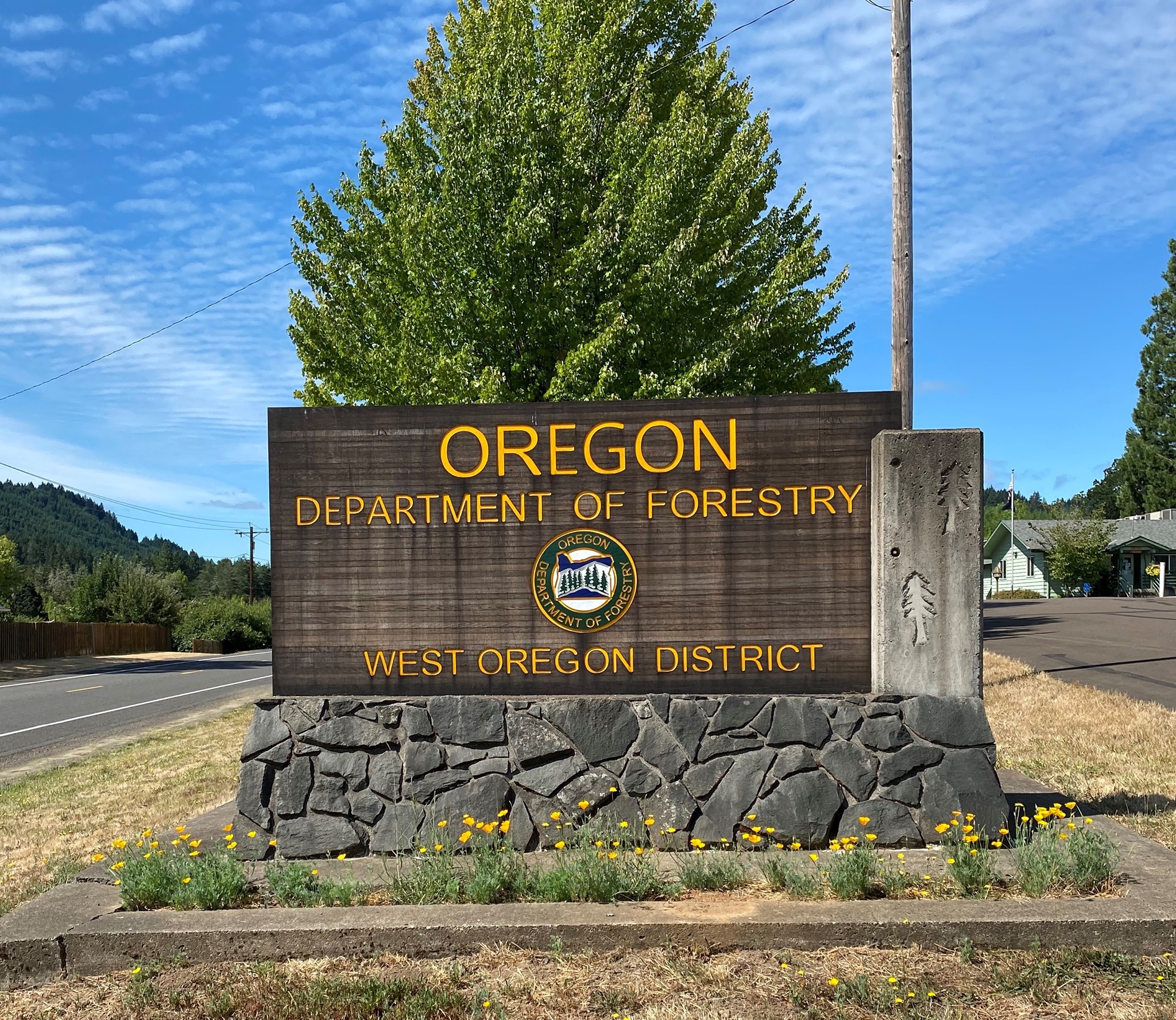
Oregon Department of Forestry (ODF)
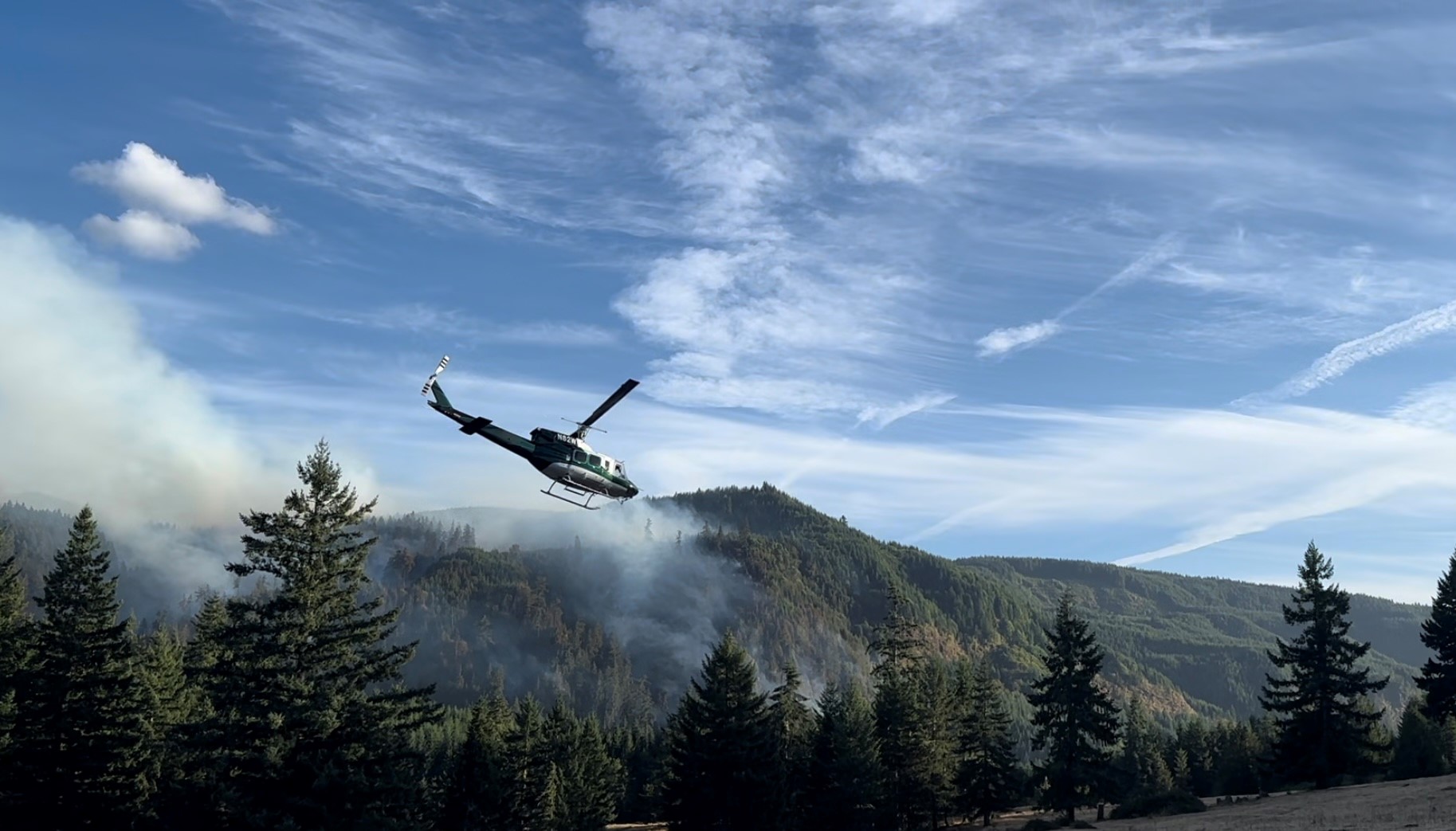
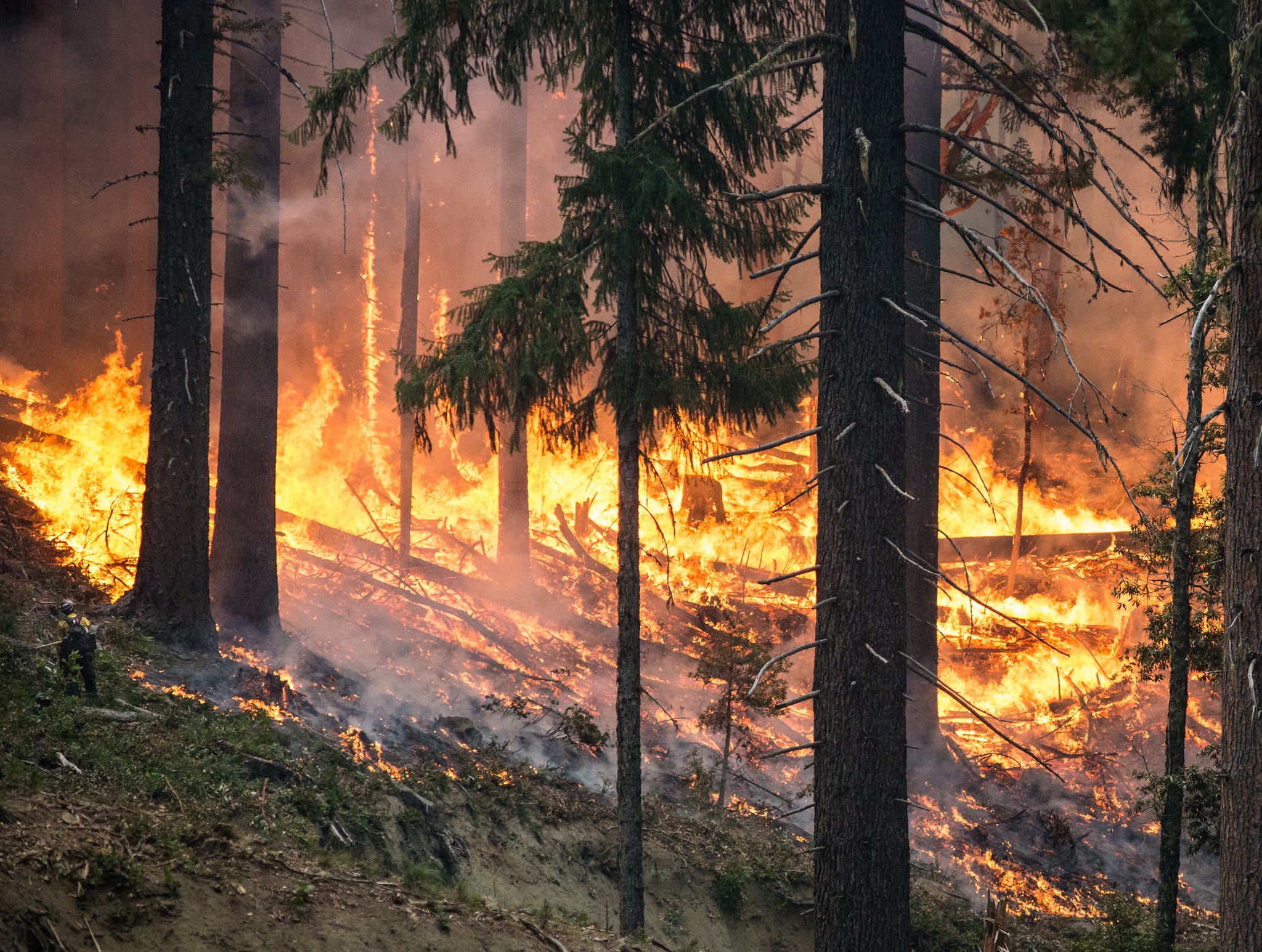
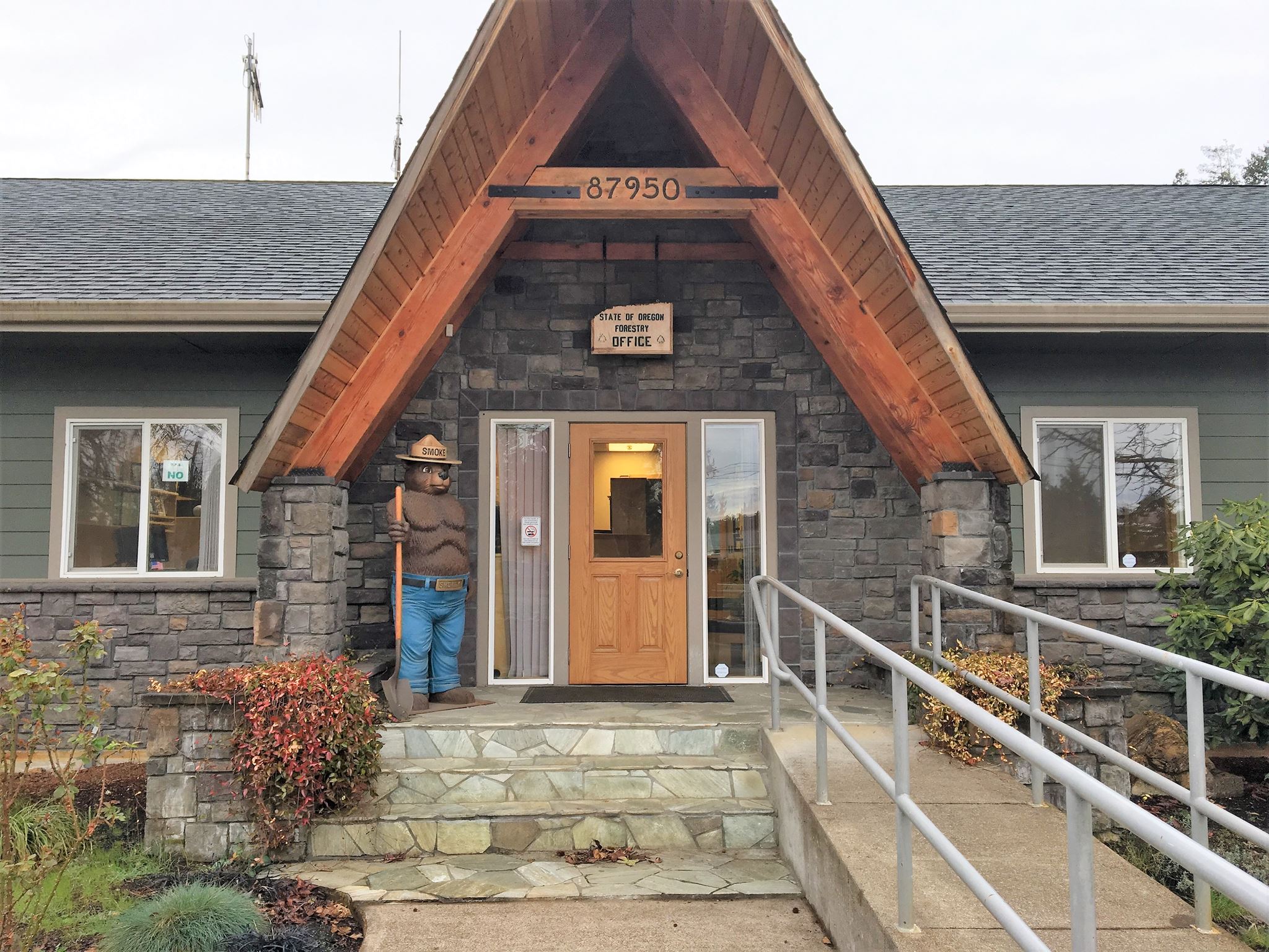
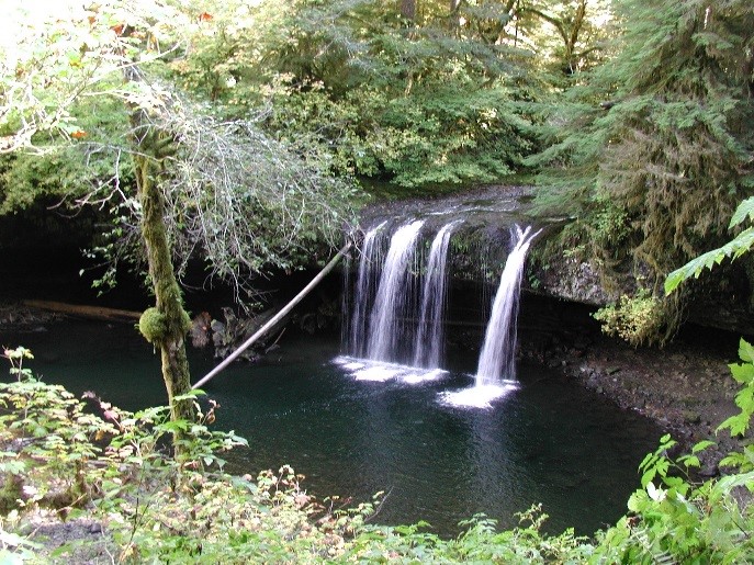
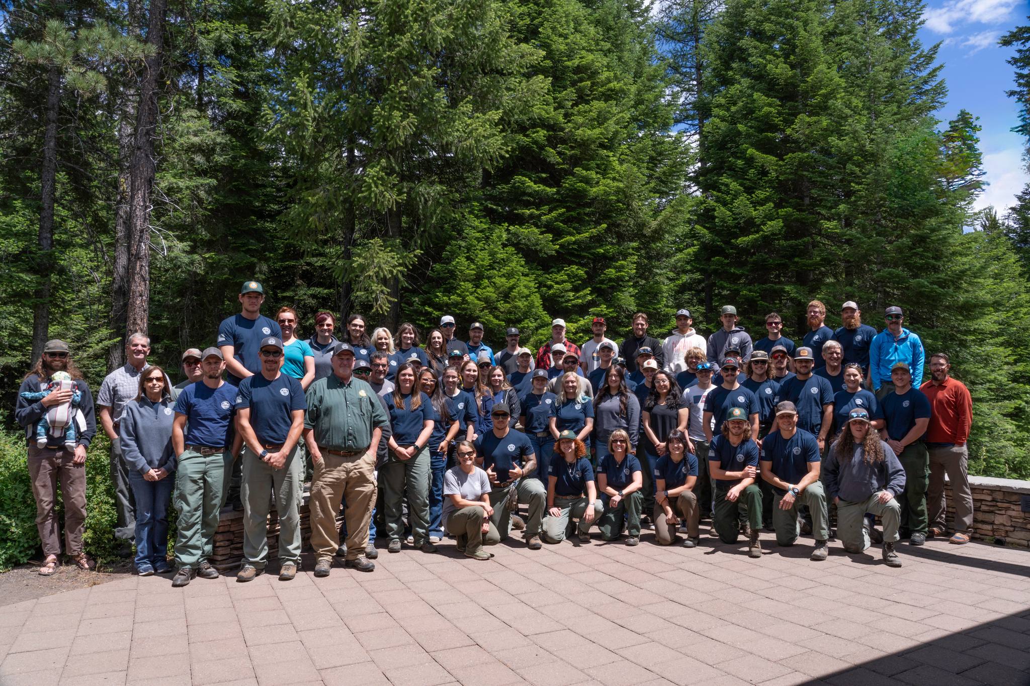
The Oregon Department of Forestry (ODF) protects 16 million acres of Oregon's public and private forestlands from wildfire, manages 800,000+ acres of Oregon's state forests, enforces the Oregon Forest Practices Act and other rules and laws to conserve Oregon's forests, assists private forestland owners, and works with urban communities to help sustain Oregon's most "lived-in" forests - trees in urban areas, city parks, neighborhoods, and open spaces. ODF serves Oregonians by helping to keep forests healthy, working, and sustainable.
Boundary Map
Oregon Department of Forestry (ODF)
Local Partner Agencies
County

Benton County
Clatsop County

Crook County

Douglas County
Jackson County

Klamath County


Lane County
Marion County
Tillamook County


Union County
Washington County

Brought To You By
For Residents
For Residents within the Oregon Department of Forestry (ODF) jurisdiction: Sign in to learn about your local Outdoor Burning Regulations, communicate with your local fire agency officials, read condition reports, create and update your own outdoor burn status.
This service is free, brought to you by this public safety partnership with Oregon Department of Forestry (ODF).
About PFS
At PublicFireSafety.com (or PFS), our mission is to improve communication in public safety.
By coordinating the needs of our public safety agencies and the residents they serve, PFS is working with these professionals and residents to re-imagine permitting, regulations, safety and communication for modern communities.
Regional Partners
State of Oregon
Oregon is served by a coordinated network of state, regional, and local agencies that work together to protect communities, manage natural resources, and deliver essential services. From environmental protection to public safety, these agencies ensure responsive, equitable governance across the state’s diverse landscapes—supporting residents through collaboration, innovation, and a commitment to community well-being.