McMinnville Fire District

McMinnville Fire District
Burn safely and responsibly.
McMinnville Fire District
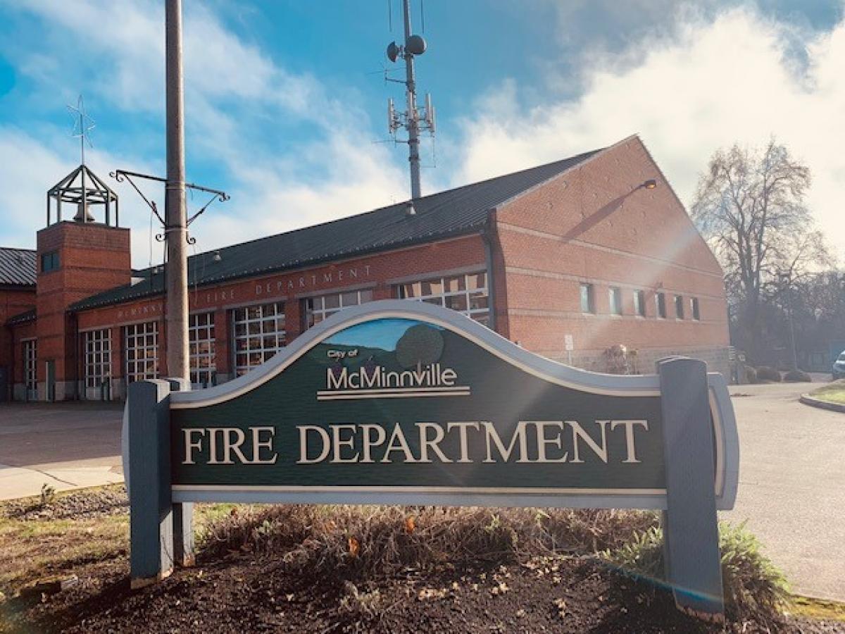
The McMinnville Fire District provides fire and emergency medical services to all residents within our 98 square mile fire district.
McMinnville firefighters and paramedics respond from our main fire station in downtown McMinnville and from our ambulance substation on Baker Creek Rd. The administrative staff works at our new location, 3850 SE Three Mile Lane. The district also provides paramedic ambulance services within our 450 square mile “Ambulance Service Area” serving the communities of Amity, Dayton, Carlton, Yamhill, Lafayette and other portions of both unincorporated Yamhill and Polk Counties. MFD’s daily staffing includes (1) Fire Engine, (1) Battalion Chief and (4) 24-hour advanced life support ambulances and (1) peak activity ambulance. The Fire District also has an active group of dedicated volunteer firefighters who help supplement emergency responses throughout the community.
Boundaries
1 of 2 zones are open today. Tap a zone for its burn season and status.

Burn safely and responsibly.
Department Contacts
-
Emergency Phone Call 911
-
Public Status Page https://beforeyouburn.com/a/mcminnville-fire-district
-
Non-Emergency Phone (503) 435-5800
Boundaries
1 of 2 open- McMinnville Fire District Burn season through Dec 15 Open
- Mcminnville Fire Department Closed by DEQ: Willamette Valley Open Burn Control Closed
Follow McMinnville Fire District
Get an email at 5 a.m. on mornings when burning has opened or closed here, in time to check in before you burn.
Sign in to follow
Moderate
Fine particles (PM2.5), including smoke
Air quality is acceptable. However, there may be a risk for some people, particularly those who are unusually sensitive to air pollution.
Nearby monitors · last 24 hours
7-Day Fire Weather Forecast
McMinnville Fire District , 175 SE 1st St, McMinnville, OR 97128, USA7-day outlook
Low fire weather all 7 days.
Gusts peak at 26 mph from the SE on Sat 21 Nov. Rain is most likely on Tue 24 Nov (74%).
Forecast from NOAA GFS + HRRR (noaa.gov). Soil moisture comes from the standard NOAA forecast. Fire weather ratings are Before You Burn guidance, not an official fire danger rating. Always check your agency's burn status.
Brought To You By
For Residents
For Residents within the McMinnville Fire District jurisdiction: Sign in to learn about your local Outdoor Burning Regulations, communicate with your local fire agency officials, read condition reports, create and update your own outdoor burn status.
This service is free, brought to you by this public safety partnership with McMinnville Fire District .
About PFS
At PublicFireSafety.com (or PFS), our mission is to improve communication in public safety.
By coordinating the needs of our public safety agencies and the residents they serve, PFS is working with these professionals and residents to re-imagine permitting, regulations, safety and communication for modern communities.
Regional Partners
ODF - Forest Grove District
The Forest Grove District of the Oregon Department of Forestry stewards over 150,000 acres of diverse state forestlands in northwest Oregon. Encompassing portions of five counties, the district's terrain features renowned rivers, forested mountains, and the rugged Northern Coast Range.
Oregon Department of Forestry (ODF)
The Oregon Department of Forestry (ODF) protects 16 million acres of Oregon's public and private forestlands from wildfire, manages 800,000+ acres of Oregon's state forests, enforces the Oregon Forest Practices Act and other rules and laws to conserve Oregon's forests, assists private forestland owners, and works with urban communities to help sustain Oregon's most "lived-in" forests - trees in urban areas, city parks, neighborhoods, and open spaces. ODF serves Oregonians by helping to keep forests healthy, working, and sustainable.
State of Oregon
Oregon is served by a coordinated network of state, regional, and local agencies that work together to protect communities, manage natural resources, and deliver essential services. From environmental protection to public safety, these agencies ensure responsive, equitable governance across the state’s diverse landscapes—supporting residents through collaboration, innovation, and a commitment to community well-being.