Sixes Rural Fire Protection

Sixes Rural Fire Protection
County: Curry
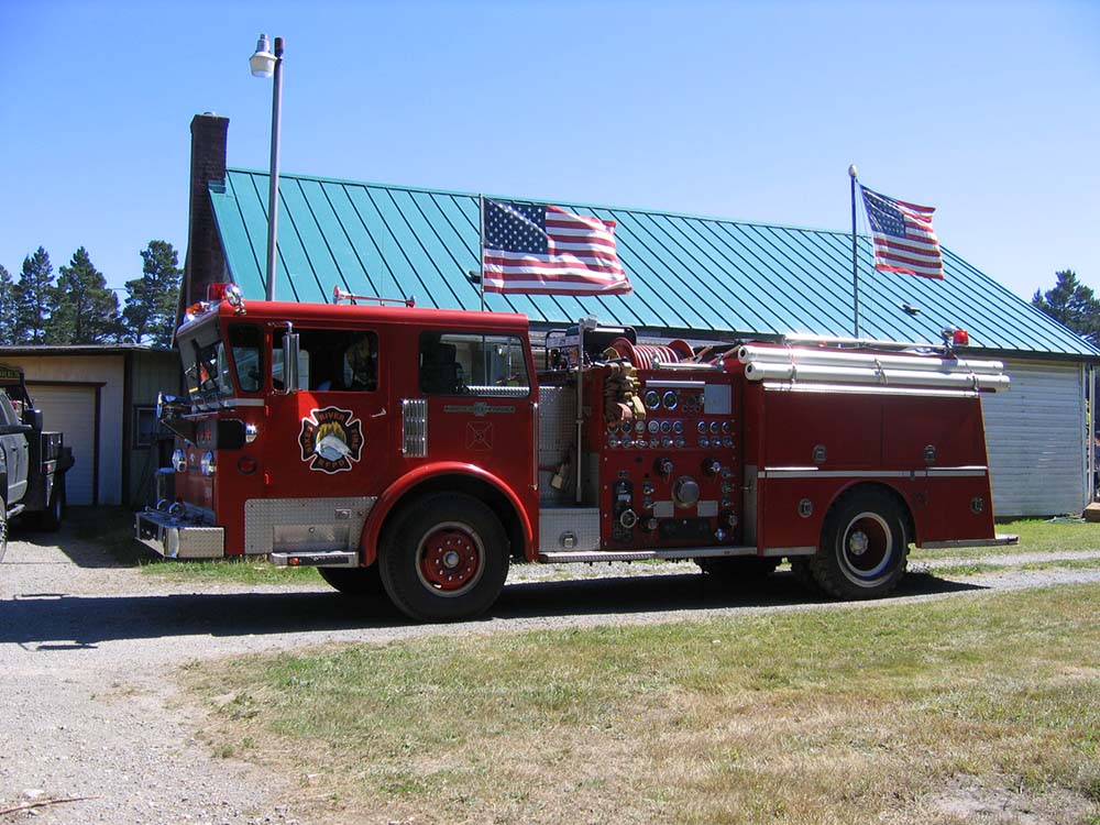
Sixes River Fire has been serving Sixes and the surrounding community since 1981. As first responders to fires, medical emergencies and disasters, Sixes River Fire protects the lives and property of the community residents as well as visitors to the area, promotes public safety, and focuses on responding rapidly to emergencies, providing appropriate intervention and community education.
Boundaries
Burn status here depends on your address. Tap a zone for its burn season and status.

Burn status depends on your address. Check in to see yours.
Department Contacts
-
Public Status Page https://beforeyouburn.com/a/sixes-rural-fire-protection
-
Email [email protected]
-
Non-Emergency Phone (541) 348-9927
-
Facebook Page https://www.facebook.com/sixesriverfire
Boundaries
- Sixes Rural Fire Protection, Station 1 Depends on the local agency at your address Check your address
Moderate
Fine particles (PM2.5), including smoke
Air quality is acceptable. However, there may be a risk for some people, particularly those who are unusually sensitive to air pollution.
Nearby monitors · last 24 hours
7-Day Fire Weather Forecast
Sixes Rural Fire Protection, 93343 S Crystal Creek Rd, Sixes, OR 97476, USA7-day outlook
1 of the next 7 days rate High fire weather.
Wind is the cause. Gusts peak at 58 mph from the S on Tue 24 Nov. Rain is most likely on Sat 21 Nov (97%).
Forecast from NOAA GFS + HRRR (noaa.gov). Soil moisture comes from the standard NOAA forecast. Fire weather ratings are Before You Burn guidance, not an official fire danger rating. Always check your agency's burn status.
Brought To You By
For Residents
For Residents within the Sixes Rural Fire Protection jurisdiction: Sign in to learn about your local Outdoor Burning Regulations, communicate with your local fire agency officials, read condition reports, create and update your own outdoor burn status.
This service is free, brought to you by this public safety partnership with Sixes Rural Fire Protection.
About PFS
At PublicFireSafety.com (or PFS), our mission is to improve communication in public safety.
By coordinating the needs of our public safety agencies and the residents they serve, PFS is working with these professionals and residents to re-imagine permitting, regulations, safety and communication for modern communities.
Regional Partners
State of Oregon
Oregon is served by a coordinated network of state, regional, and local agencies that work together to protect communities, manage natural resources, and deliver essential services. From environmental protection to public safety, these agencies ensure responsive, equitable governance across the state’s diverse landscapes—supporting residents through collaboration, innovation, and a commitment to community well-being.