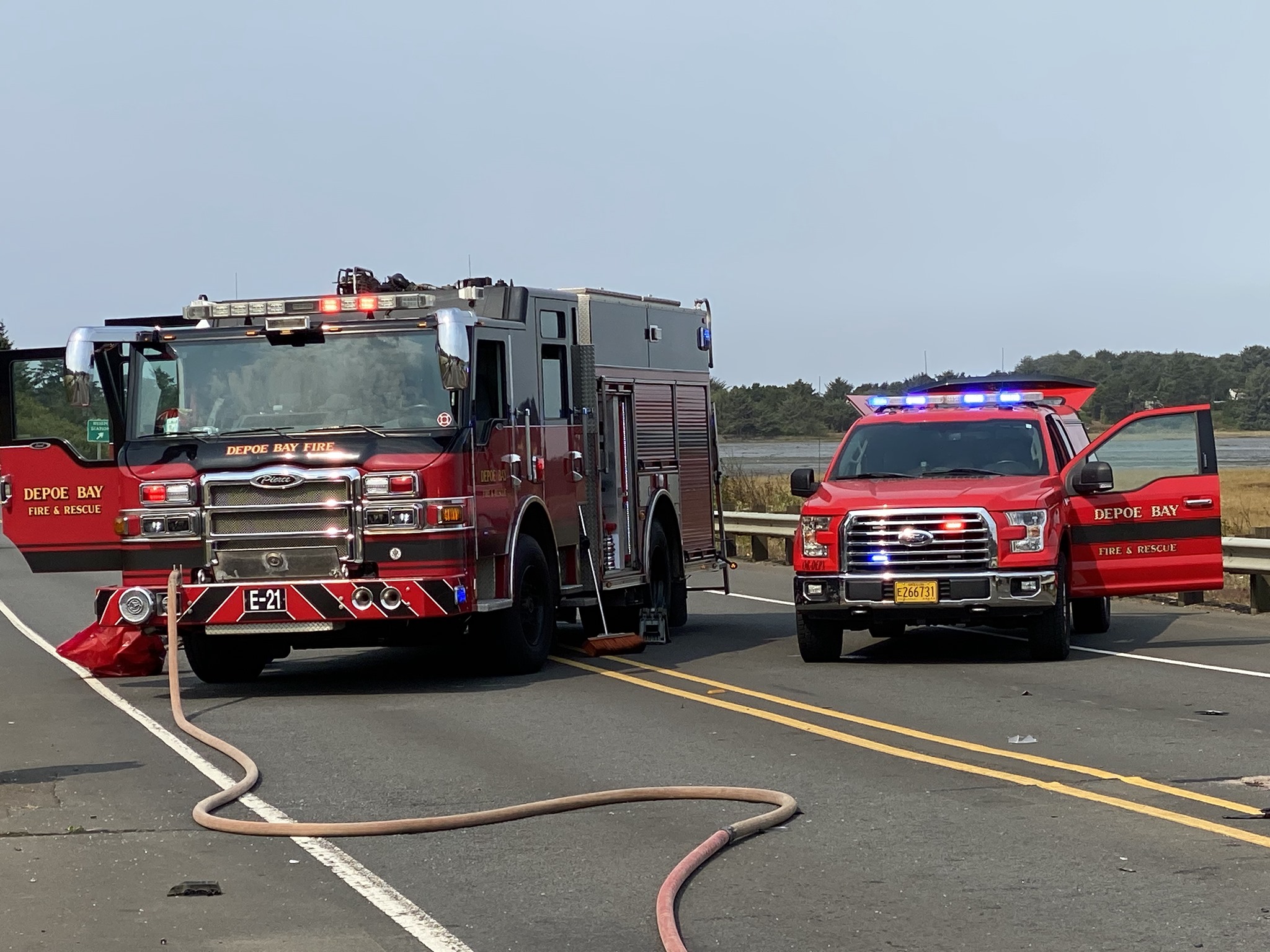
Depoe Bay Rural Fire Protection District

Current Conditions
LOCAL FIRE WEATHER Jul 22
Moderate
Fog or ice fog, sky invisible, no appreciable change, elevated winds and high temperatures forecasted for today.

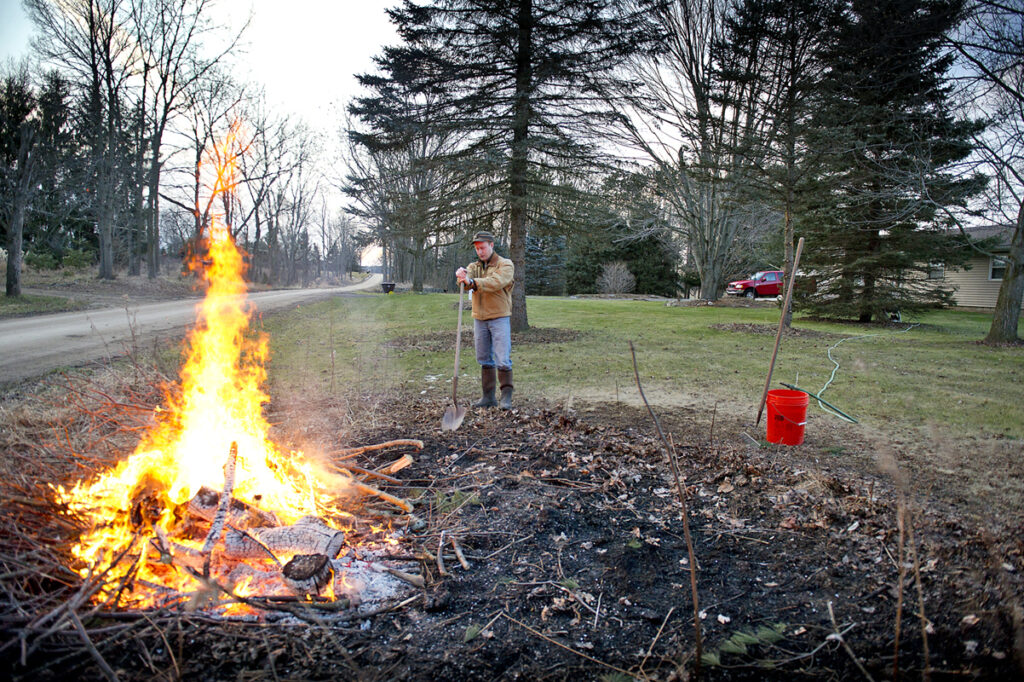
Outdoor Debris Burning
Depoe Bay Rural Fire Protection District
The Depoe Bay Rural Fire Protection District serves a unique 13-square-mile area of the Central Oregon Coast, encompassing coastal communities such as Depoe Bay, Gleneden Beach, and Otter Rock. The district covers diverse terrains, from rocky ocean cliffs to vacation complexes and rugged undeveloped land. With three stations and fifteen career staff, including firefighters and administrative support, the district provides essential fire protection, rescue, and emergency medical services. The team is highly valued for their dedicated and courageous service.
Boundary Map
7-Day Fire Weather Forecast
Today
Jul 22Fog or ice fog, sky invisible, no appreciable change, elevated winds and high temperatures forecasted for today.
| Daylight | 5:51am - 8:53pm |
|---|---|
| Precipitation | 11%, 0 mm |
| Rel. Humidity | 88 - 100 % |
| Winds | SW 10.3 - 18.6 mp/h |
| Soil Moisture | 0.28 m³/m³ |
Thu
Jul 23Drizzle, not freezing, continuous, slight, elevated winds and high temperatures forecasted for today.
| Daylight | 5:52am - 8:52pm |
|---|---|
| Precipitation | 6%, 0.4 mm |
| Rel. Humidity | 84 - 100 % |
| Winds | SW 9.2 - 17 mp/h |
| Soil Moisture | 0.27 m³/m³ |
Fri
Jul 24Clouds generally forming or developing, high temperatures forecasted for today.
| Daylight | 5:53am - 8:51pm |
|---|---|
| Precipitation | 0%, 0 mm |
| Rel. Humidity | 60 - 98 % |
| Winds | W 7.7 - 8.1 mp/h |
| Soil Moisture | 0.26 m³/m³ |
Sat
Jul 25Drizzle, not freezing, continuous, slight, very high winds and high temperatures forecasted for today.
| Daylight | 5:54am - 8:50pm |
|---|---|
| Precipitation | 9%, 0.3 mm |
| Rel. Humidity | 67 - 98 % |
| Winds | S 11.8 - 25.3 mp/h |
| Soil Moisture | 0.26 m³/m³ |
Sun
Jul 26Clouds generally forming or developing, high temperatures forecasted for today.
| Daylight | 5:55am - 8:49pm |
|---|---|
| Precipitation | 13%, 0 mm |
| Rel. Humidity | 62 - 98 % |
| Winds | SW 8.6 - 9.8 mp/h |
| Soil Moisture | 0.26 m³/m³ |
Mon
Jul 27Cloud generally dissolving or becoming less developed, high temperatures forecasted for today.
| Daylight | 5:56am - 8:48pm |
|---|---|
| Precipitation | 3%, 0 mm |
| Rel. Humidity | 62 - 98 % |
| Winds | WNW 8 - 8.3 mp/h |
| Soil Moisture | 0.26 m³/m³ |
Tue
Jul 28State of sky on the whole unchanged, high temperatures forecasted for today.
| Daylight | 5:58am - 8:47pm |
|---|---|
| Precipitation | 8%, 0 mm |
| Rel. Humidity | 61 - 99 % |
| Winds | W 7.7 - 8.5 mp/h |
| Soil Moisture | 0.26 m³/m³ |
** Yellow or Red highlights indicates more dangerous fire weather conditions. Please verify burning status with your local fire agency.
Brought To You By
For Residents
For Residents within the Depoe Bay Rural Fire Protection District jurisdiction: Sign in to learn about your local Outdoor Burning Regulations, communicate with your local fire agency officials, read condition reports, create and update your own outdoor burn status.
This service is free, brought to you by this public safety partnership with Depoe Bay Rural Fire Protection District.
About PFS
At PublicFireSafety.com (or PFS), our mission is to improve communication in public safety.
By coordinating the needs of our public safety agencies and the residents they serve, PFS is working with these professionals and residents to re-imagine permitting, regulations, safety and communication for modern communities.
Regional Partners
State of Oregon
Oregon is served by a coordinated network of state, regional, and local agencies that work together to protect communities, manage natural resources, and deliver essential services. From environmental protection to public safety, these agencies ensure responsive, equitable governance across the state’s diverse landscapes—supporting residents through collaboration, innovation, and a commitment to community well-being.