Rogue River-Siskiyou National Forests

Rogue River-Siskiyou National Forests
Created by zones:import-federal-lands
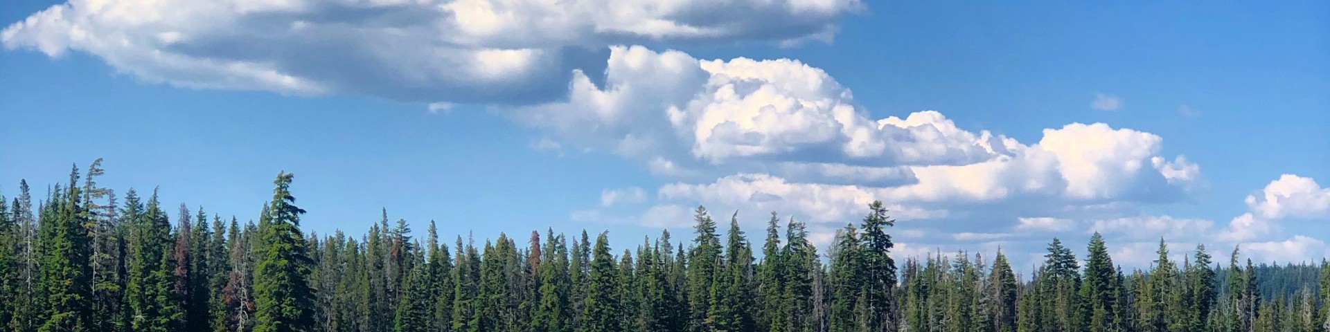
Located in southwestern Oregon and extending into California, the Rogue River-Siskiyou National Forest ranges from the crest of the Cascades Range, west into the Siskiyou Mountains, and includes southern portions of the Coastal Range, extending nearly to the Pacific Ocean. Oregon is comprised of a magnificent variety of geological wonders. and the Rogue River-Siskiyou National Forest is a part of that splendid diversity!
Boundaries
Online burn registration is not available here. Call Rogue River-Siskiyou National Forests before burning. Tap a zone for its burn season and status.
Online burn registration is not available for this location.
Department Contacts
-
Public Status Page https://beforeyouburn.com/a/rogue-river-siskiyou-national-forests
-
Non-Emergency Phone (541) 618-2200
Boundaries
0 of 1 open- Rogue River-Siskiyou National Forests Online registration not available for this location Call Local Agency
Get notified
Rogue River-Siskiyou National Forests doesn't post burn status here yet. Leave your email and we'll tell you once when it does. We'll send a code to confirm your address.
Moderate
Fine particles (PM2.5), including smoke
Air quality is acceptable. However, there may be a risk for some people, particularly those who are unusually sensitive to air pollution.
Nearby monitors · last 24 hours
7-Day Fire Weather Forecast
Rogue River-Siskiyou National Forests, Rogue River–Siskiyou National Forest, Oregon 97415, USA7-day outlook
Low fire weather all 7 days.
Gusts peak at 44 mph from the SE on Tue 24 Nov. Rain is most likely on Sat 21 Nov (100%).
Forecast from NOAA GFS + HRRR (noaa.gov). Soil moisture comes from the standard NOAA forecast. Fire weather ratings are Before You Burn guidance, not an official fire danger rating. Always check your agency's burn status.
Brought To You By
For Residents
For Residents within the Rogue River-Siskiyou National Forests jurisdiction: Sign in to learn about your local Outdoor Burning Regulations, communicate with your local fire agency officials, read condition reports, create and update your own outdoor burn status.
This service is free, brought to you by this public safety partnership with Rogue River-Siskiyou National Forests.
About PFS
At PublicFireSafety.com (or PFS), our mission is to improve communication in public safety.
By coordinating the needs of our public safety agencies and the residents they serve, PFS is working with these professionals and residents to re-imagine permitting, regulations, safety and communication for modern communities.
Regional Partners

U.S. Federal Government
Parent agency for federal entities operating in Oregon.
U.S. Forest Service - Oregon
Created by zones:import-federal-lands