

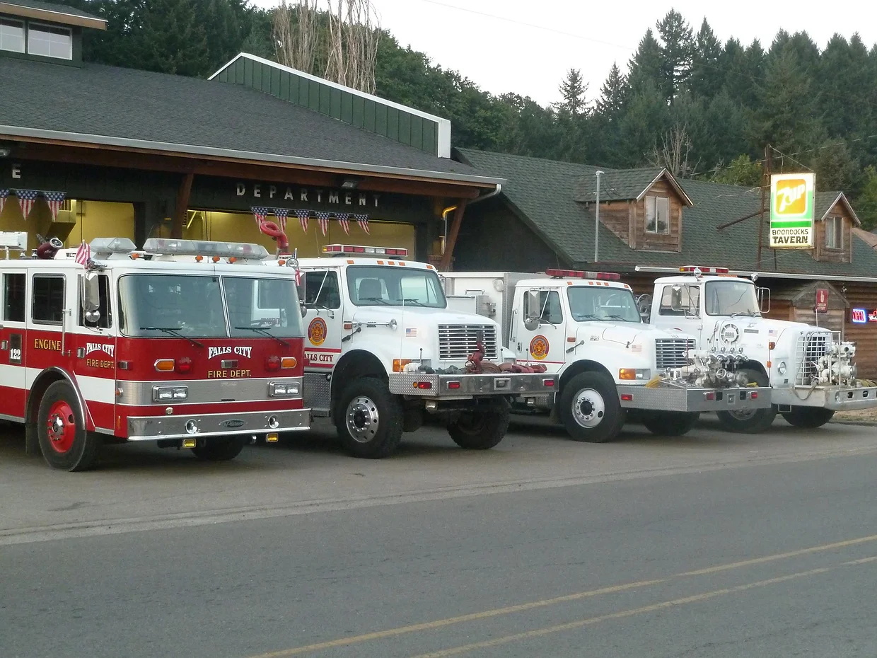

Falls City Fire Department

Fire weather forecast
Falls City Fire Department, 320 N Main St, Falls City, OR 97344, USA
Today, Fri 20 Nov
Low fire weather
High 47°F, gusts to 7 mph from the NNW, humidity down to 75%. No factor is elevated today.
7-day outlook
Low fire weather all 7 days.
Gusts peak at 20 mph from the SSE on Sat 21 Nov. Rain is most likely on Tue 24 Nov (71%).
What drives each day's rating
Each day takes the highest of these four factors. A rain chance above 25% lowers a day one level, and 75% or more makes it Low, so a rating can sit below its highest factor.
Today
Sat
Sun
Mon
Tue
Wed
Thu
Humidity
Lowest of the day. Moderate below 30% (if it stays under 50%), High if it stays under 30% all day.
75%
Low
77%
Low
71%
Low
92%
Low
90%
Low
87%
Low
66%
Low
Wind
Peak gust. Moderate above 14 mph, High above 25 mph (sustained: 10 and 20 mph). One level lower on days at or under 50°F.
7 mph
Low
20 mph
Low
13 mph
Low
13 mph
Low
11 mph
Low
6 mph
Low
15 mph
Moderate
Temperature
Daytime high. Moderate above 60°F, High above 90°F.
47°F
Low
48°F
Low
48°F
Low
42°F
Low
43°F
Low
46°F
Moderate
56°F
Moderate
Soil moisture
Top 3 to 9 cm of soil. Moderate below 0.05, High below 0.01 m³/m³.
0.29
Low
0.28
Low
0.28
Low
0.27
Low
0.32
Low
0.30
Low
0.32
Low
Fire weather rating
Low
Low
Low
Low
Low
Low
Low
Hour by hour, today, Fri 20 Nov
Hour by hour, Sat 21 Nov
Hour by hour, Sun 22 Nov
Hour by hour, Mon 23 Nov
Hour by hour, Tue 24 Nov
Hour by hour, Wed 25 Nov
Hour by hour, Thu 26 Nov
Temperature Humidity Wind gusts NightWarmest47°F at 2 PM
Driest75% at 4 AM
Strongest gusts7 mph at 2 AM
Rain1% chance, 0.00 in
Daylight7:17 AM to 4:40 PM
Soil moisture0.29 m³/m³ (moist)
UV index2.4
Warmest48°F at 1 PM
Driest77% at 1 AM
Strongest gusts20 mph at 1 PM
Rain70% chance, 0.17 in
Daylight7:19 AM to 4:39 PM
Soil moisture0.28 m³/m³ (moist)
UV index2.4
Warmest48°F at 2 PM
Driest71% at 2 PM
Strongest gusts13 mph at 12 AM
Rain57% chance, 0.01 in
Daylight7:20 AM to 4:38 PM
Soil moisture0.28 m³/m³ (moist)
UV index2.3
Warmest42°F at 7 PM
Driest92% at 11 AM
Strongest gusts13 mph at 7 AM
Rain70% chance, 0.38 in
Daylight7:21 AM to 4:38 PM
Soil moisture0.27 m³/m³ (moist)
UV index2.3
Warmest43°F at 9 PM
Driest90% at 2 AM
Strongest gusts11 mph at 9 AM
Rain71% chance, 0.03 in
Daylight7:22 AM to 4:37 PM
Soil moisture0.32 m³/m³ (moist)
UV index2.3
Warmest46°F at 11 PM
Driest87% at 6 AM
Strongest gusts6 mph at 12 AM
Rain64% chance, 0.01 in
Daylight7:24 AM to 4:36 PM
Soil moisture0.30 m³/m³ (moist)
UV index2.2
Warmest56°F at 1 PM
Driest66% at 1 PM
Strongest gusts15 mph at 4 AM
Rain55% chance, 0.05 in
Daylight7:25 AM to 4:36 PM
Soil moisture0.32 m³/m³ (moist)
UV index2.2
Forecast from NOAA GFS + HRRR (noaa.gov). Soil moisture comes from the standard NOAA forecast. Fire weather ratings are Before You Burn guidance, not an official fire danger rating. Always check your agency's burn status.